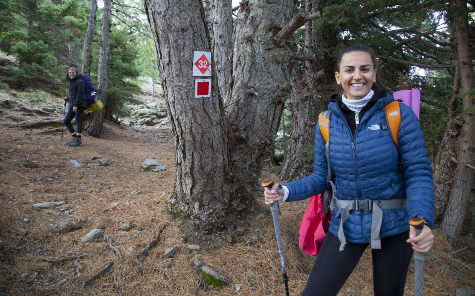
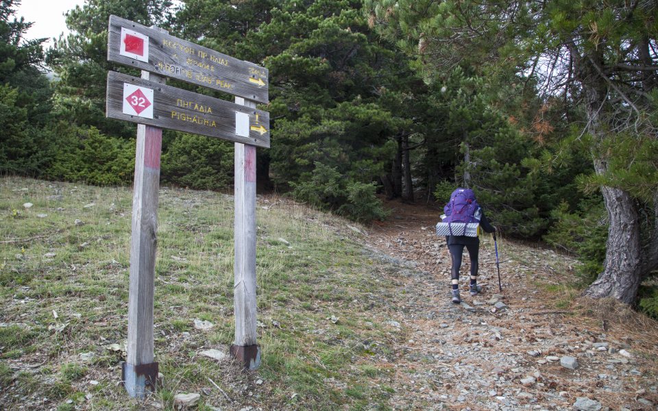
The route
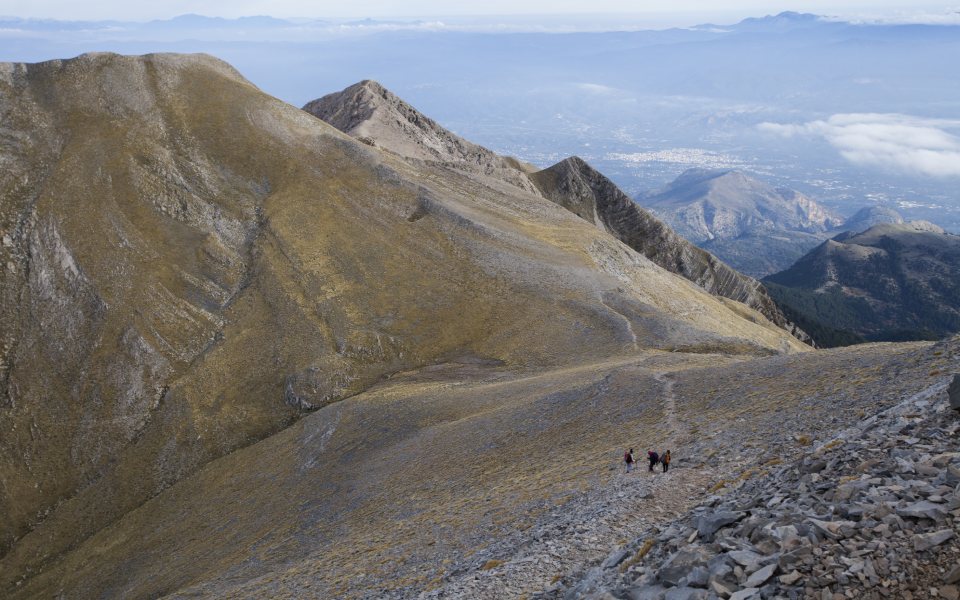
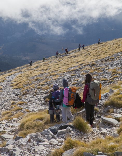
The trail that takes you up to the summit of the emblematic mountain is relatively easy at first, with long horizontal sections but grows steeper the closer to get to the conical top. It starts at the refuge run by the Sparta Mountaineering Society, where you can also arrange to stay, with its first leg running through the forest. As the vegetation becomes sparser, you will be faced with a sudden ascent dubbed Anathema that takes around 15 minutes. Follow the red squares marking the path, through a succession of softly undulating meadows known as Lakkomata. After some time enjoying this pretty landscape, you will come to rockier, limestone terrain, in a section of the trail known as Plaka.
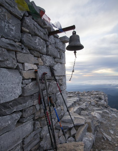
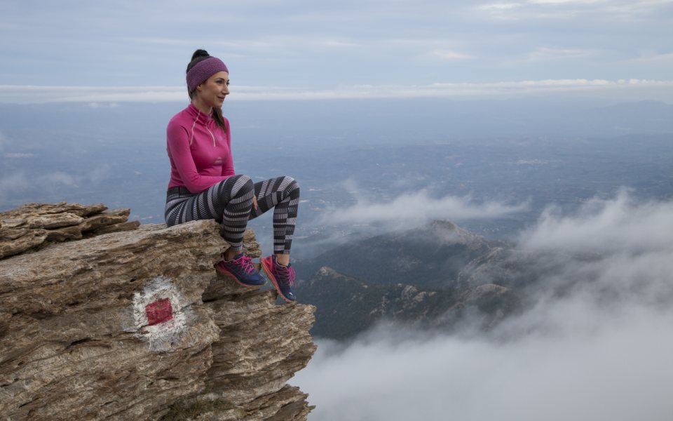
As you follow the natural contours of the landscape, you will get an increasingly clear view of the perfect pyramid at the summit, its most characteristic feature. A right turn at the crossroads will take you to the peak of Halasmeno Vouno. Our destination is to the left, offering a view of the sprawl of the Taygetus range. The final leg is steep, exposed to the elements and strewn with stones, which makes the ascent tricker. It is worth it, though, to reach the peak and the chapel of Profitis Ilias after which it is named, at an altitude of 2,407 meters. The panoramic view of the mountain and the gulfs of Messinia and Laconia down below are all the rewards you need.
© Olga Charami
© Olga Charami
Stops
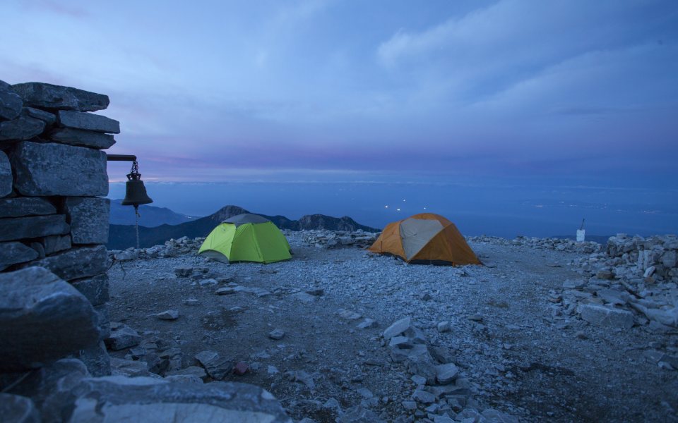
There are no particular stops that are considered a must along this trail. After all, there is very little vegetation and, therefore, little change of finding any shade. What matters most is the timing of your visit. Most climbers tend to start the trek before dawn so they can make the summit in time to watch the sun rise and the stunning sight of the “pyramid” casting its shadow on the sea. We, however, recommend that you time your visit for the afternoon so you can watch the sunset, spend the night (at the refuge or in your own tent) and then return after dawn – it is what hundreds of locals do every summer when they celebrate the saint’s day of Profitis Ilias, or Agiolias as he’s known. It’s an impressive custom.
© Olga Charami
© Olga Charami
Legends and stories
The highest peak in the Peloponnese, Taleton as it was known in ancient times and Pentadakytlos as per its Byzantine designation, is an imposing place that has inspired artists and attracted interest for many centuries. There appears to have been an ancient temple at its summit that was dedicated to Helios, the sun god, which was replaced by the roofless Church of Profitis Ilias.
The mountain has inspired many legends, with the most typical of these concerning the pyramid at its summit. It is such a perfect isosceles triangle that many believe it to have been hewn not by nature but by human hand, possibly for the purposes of worship. Its cult status is magnified by the belief that it stands in a straight line to another three similar “pyramids” located at specific coordinates. Even though the theory that it is manmade has been supported by some researchers, it has not been confirmed by the scientific community at large.
© Olga Charami
© Olga Charami
Who it’s for
The ascent – and particularly the descent – of Mount Taygetus is regarded as quite demanding because of the difference in altitude, so it is recommended only for people in a good state of physical fitness, even though it does not require any particular climbing experience.
Tips
You can start your Taygetus hike at the Mangianaris spring on the dirt road, where you will also find a place to leave your car. The trail traverses a dense forest of black pine and snakes back onto the first road every so often, runs past two more springs (Tripodas and Varvara, which are, however, dry in the summer), before ending at the refuge, at Varvara, after roughly 1½ hours.
Taygetus is absolutely chock-full of hiking trails, which you can find on the brand-new map published by the mountaineering firm Anavasi, on a scale of 1:25,000. The map also includes a guide of recommended treks.
Duration
The distance from the refuge to the summit is roughly 4 km, which should take around 2½ hours. The summit is at 2,407 meters and the refuge at 1,550 m, so there is a significant altimetric difference to cover.


