Everybody who lives or has visited Athens recognizes that the metropolitan basin has very clear geographical boundaries, with the Saronic gulf defining the southern ‘edge,’ and an almost continuous string of mountains of various sizes, shapes and heights denoting the remaining sides.
Many are also aware that one of those mountains – Parnitha, is a national park. The mountain is a popular destination for Athenians – especially when winter blankets its sides with fresh snow – who walk run and cycle through its (remaining) pine and fir forests.
Today increasingly growing number of visitors are aware that fantastic hikes are only a 30-40 drive from the center of town. From my experience however, very few have hiked the route I am about to describe in some detail…
To be more specific, I am referring to an extensive hike of the north-eastern part of Parnitha, arguably the least known part of the mountain. What makes this route particularly pleasant is that it takes the visitor through a variety of landscapes, all of which are imbued with an uncanny sense of detachment despite their proximity tο the sprawling Athenian metropolis, which is just on the other side of the mountain.
© Vasilis Triantafyllou
The Route
(Below you will find a full map of the trail. But don’t expect to have reliable cellphone signal in the mountains so it’s a good idea to also have a printed map. For this trip I recommend the 1:25.000 map of Parnitha issued by Anavasi.)
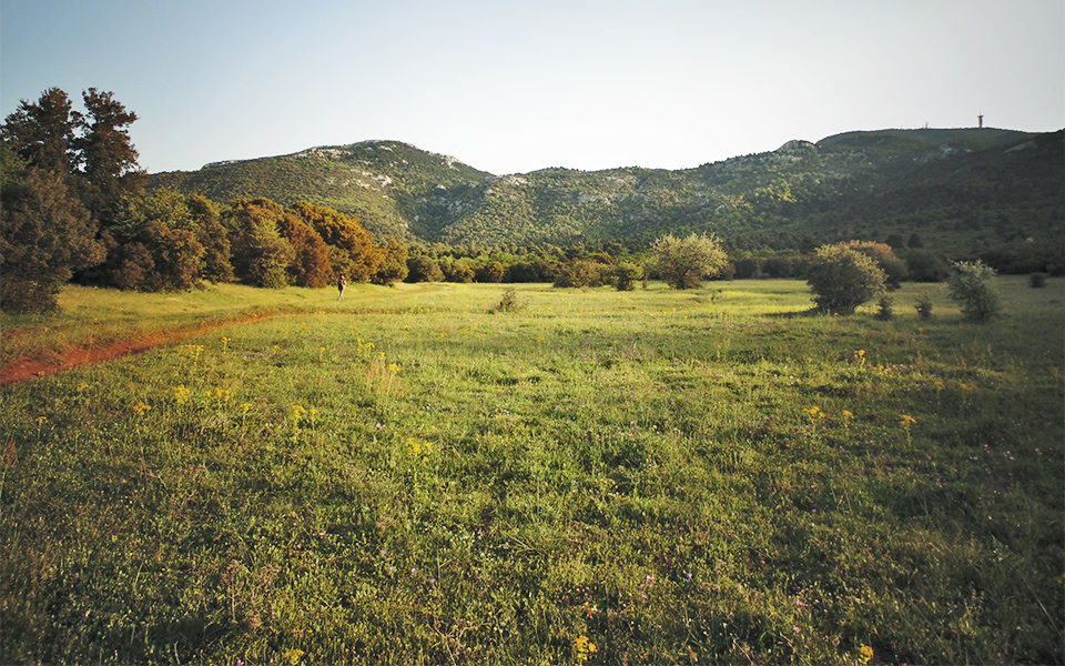
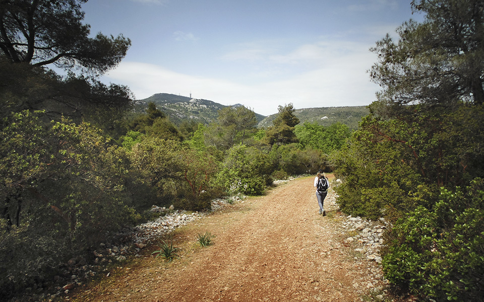
The recommended cyclical route has as its starting point a clearing called Makrichorafo which is located on the road that connects the former royal estate of Tatoi with Malakasa, and it is not far off the tavernas below the rocky Katsimidi peak. From here there is a dirt road that veers off to the left and has a full view of the north-eastern – and very forested – mountainside of Parnitha.
Follow this dirt road as far as the Vithisma plateau where there is a clearly defined junction with a footpath to the left. Those who are in a rush can always take a couple of shortcuts – also clearly defined with posts – that provide a more direct route to Vithisma and overtake the winding dirt road.
© Vasilis Triantafyllou
© Vasilis Triantafyllou
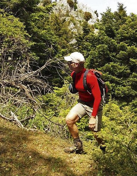
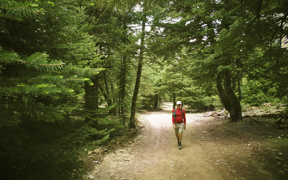
From this point the footpath ascends relatively steeply through a thick forest of mixed species until it reaches a clearing where a disused and barely visible dirt road ends up. Here the forest consists almost exclusively of fir trees.
It is worth having a short break here to enjoy the view to the north-east, with the island of Evia and its distinctly conical mountain Dirfys visible as well as the Aegean sea beyond! As a bonus to those that may find themselves on this location in summer, take the opportunity to pick some fruit from the few wild apple trees there.
From here turn right and follow a clear path that traverses through the forest and past a few creeks all the way to the Mola plateau.
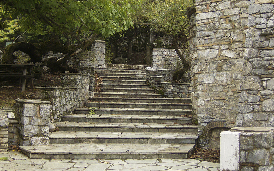
This area was once an orchard, and is currently a popular location for picnicking families on weekends, as it is directly adjacent to the accessible part of the tarmac road that circumvents the mountain peaks, a small chapel and the freshwater spring with the same name.
Walk across the Mola plateau in a westerly direction until you reach a dirt road, and follow it through a thick fir forest down the northern slopes of the mountain as far as the Loimiko basin. There is a more direct path that uses the brook that runs to the right of the dirt road, although this shortcut is not recommended in winter or early spring.
© Vasilis Triantafyllou
© Vasilis Triantafyllou
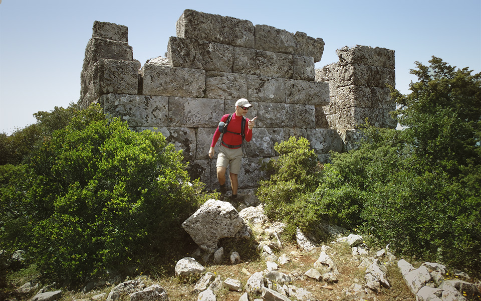
Once at the plateau you can either follow the road past a great oak tree until you reach the ancient well of Loimiko, or go straight up the forested hill of Pireza, past the junction for the small St. George chapel and as far as its peak, where the pristine citadel of Loimiko is situated.
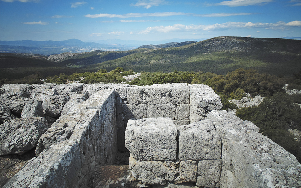
The panoramic view from this citadel is truly exceptional. To the north, the tower overlooks Boeotia, a silent reminder that – in antiquity – it operated as an observation post, as well as a signals towers of the northern frontiers of the Athenian city-state, along with those found at Katsimidi, Fyli and Eleuthera. All these were built to ward off invaders but mostly to forewarn the citizenry.
© Vasilis Triantafyllou
© Vasilis Triantafyllou
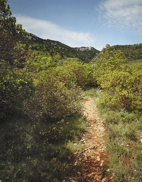
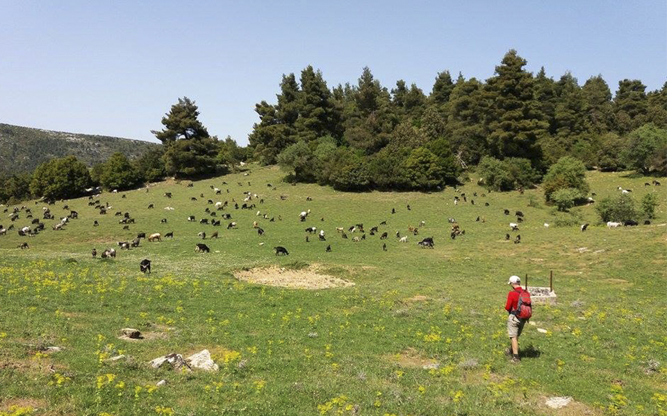
Continuing, back-track for a few hundred meters until you reach the path that veers to the left and takes you a thick pine forest as far as the large Saloniki plateau. This route also traverses through a few small clearings where it is more than likely you will encounter sheep and/or goats grazing. One of these clearings features an ancient well, defined by its stone rim.
As many locations in Greece, the name given to the Saloniki plateau confirms its agrarian use, at least until fairly recently. The name ‘Saloniki’ derives from the Greek word for threshing grounds, indicating this location was once cultivated.
Once at Saloniki locate the dirt road to your left and follow it across the plateau to the point where it turns sharply to the right and heads up the mountain along the Toghia brook. A few hundred meters after this take a small but clearly signed footpath to your left past a rocky crest until you cross another larger path that follows the course of a brook. Follow this path until you reach Xouliza, a small clearing where there is some barely visible evidence of charcoal kilns.
© Vasilis Triantafyllou
From here there is another path that veers right and traverses the pine forest in an easterly direction. Follow this past the next crest and down through a lush oak forest until you reach a very picturesque and narrow dirt road. There is a small meadow here called Vrokoli, which is characterised by some very large and old oak trees.
Follow the dirt road past Laka Driza – yet another beautiful clearing – until you reach Vithisma plateau, thus completing the circuit. Follow the dirt road all the way to Makrichorafo, the starting point of this demanding but very pristine circular route.
Adapt the Route to Your Ability
According to google maps, the hike described above is approximately 20km in length, while the elevation gain is just under 1.000m. Should one wish to shorten the hike one can take the dirt road connecting the Mola and the Saloniki plateaus and avoid visiting the Loimiko citadel. Alternatively, one can drive to Mola and take the dirt road to Loimiko . Either way, it must be stressed that this gem of a structure is the main attraction.
Given that winters are usually not very severe in Attica (the winter of 2017 remains a chilly exception!), it is feasible to visit and to hike in north-eastern Parnitha any time of the year. For those interested in coming face-to-face with one of the hundreds of deer roaming the mountains of north and western Attica, I would suggest going to Parnitha in mid to late September, which is mating season for these truly beautiful animals, a time when you may literally encounter dozens wandering around, mostly in small family groups.


