Our excursion begins at Aghios Ioannis Prodromos Kynigos, a former monastery and current nunnery named after Saint John the Baptist, in the suburb of Aghia Paraskevi in northeast Athens.
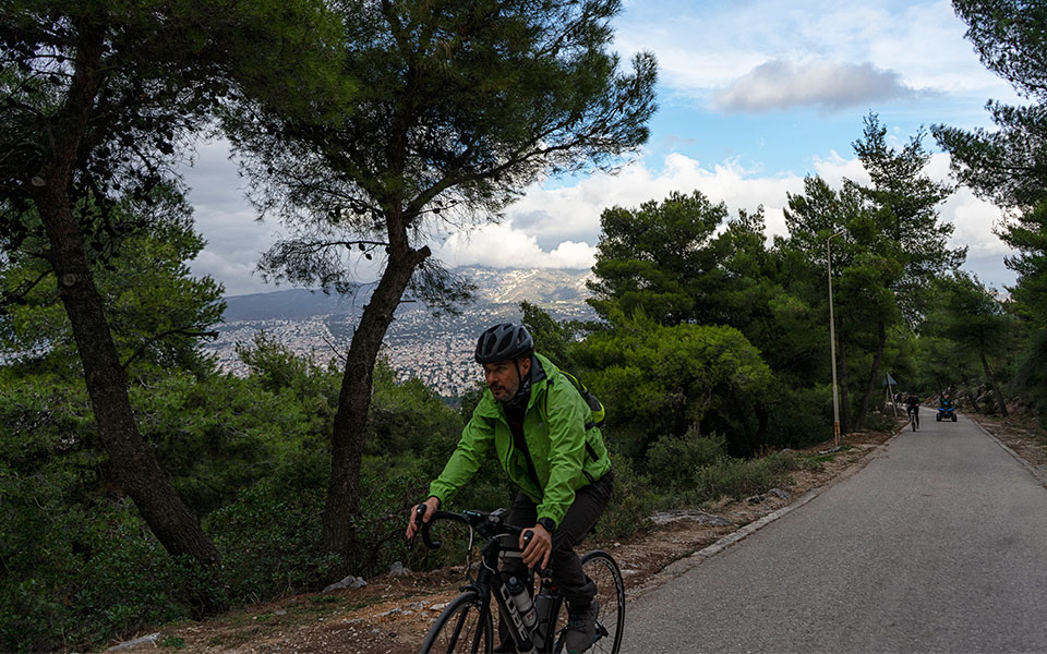
To get to the start of the trail by car, take Gravias Street to Anatolikis Mesogeiou Street and then head up the hill past the military base to reach an opening in front of the nunnery, which is also where you can park. A popular area for runners, cyclists and walkers, you’ll find a fair number of people here on most days.
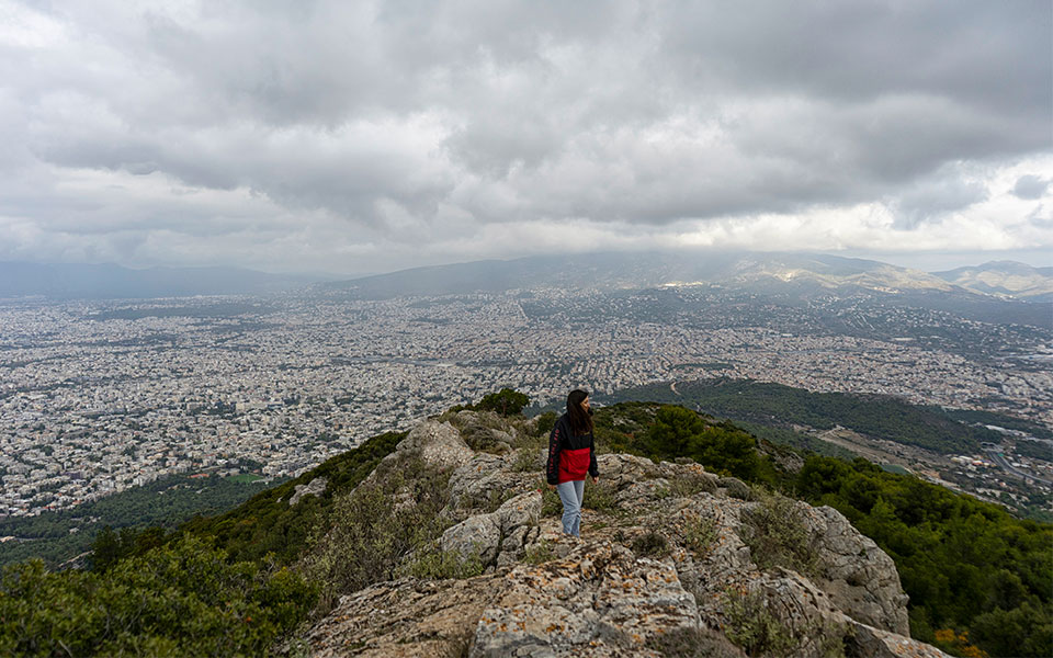
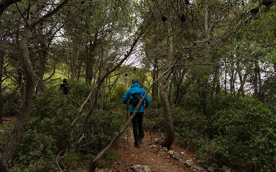
There are several trails leading from this spot; our route is an easy trek, with stunning views. When the weather is clear, you can see the islands of the Saronic Gulf and the northern shore of the Peloponnese to the west, and Evia and some of the Cycladic islands to the east.
It is a pleasant hike that offers the satisfaction of conquering the relatively low peaks of Korakovouni (“Raven’s Hill”) and exploring the little-known yet impressive Leontari Cave. The only downside is that you never really feel alone with nature, as the city is visible from every part of the route.
© Marika Tsouderou
Our route is a combination of the Number 10 and Number 14 signposted trails. To set off, first find the wooden sign indicating that the OTE Ridge (Diaselo) is 3.5 km away From here, the asphalt soon gives way to dirt and you’ll find the start of Trail 10 some 200 meters up on your left.
Around you, the autumn-blooming purple heather gradually gives way to wild strawberry bushes. They bloom from October through December, and their combination of pink and white blossoms together with the delicious yellow and red fruit they bear make them delightful.
Keep heading uphill in a southward direction. The trail will cross with two dirt paths and run near a high-tension electricity pylon before becoming quite rocky as it rises to the first summit (692m), which is marked by a small pillar. The views over Attica in both directions – west to the downtown basin area and east to the Mesogeia Plain – are quite impressive.

© Marika Tsouderou
© Marika Tsouderou
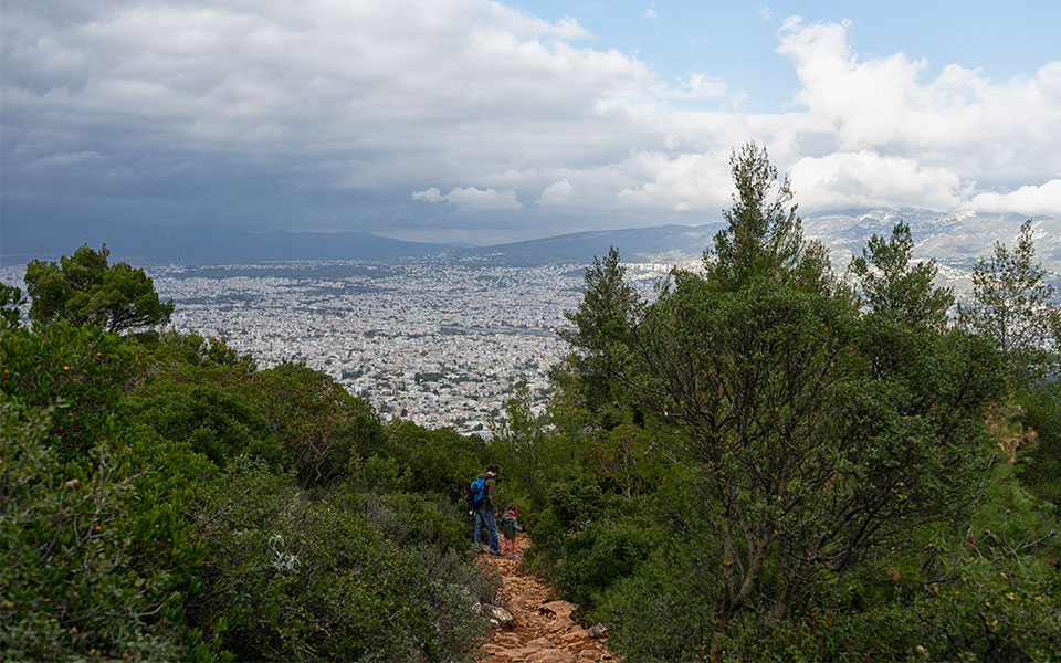
Pressing on towards the second summit, you’ll pass a turning for the Leontari Cave and continue through a lovely dense stretch of pines which runs into a section of the forest replanted following a particularly destructive fire about a decade ago. The young green trees, a sign of resilience and optimism, are a touching sight.
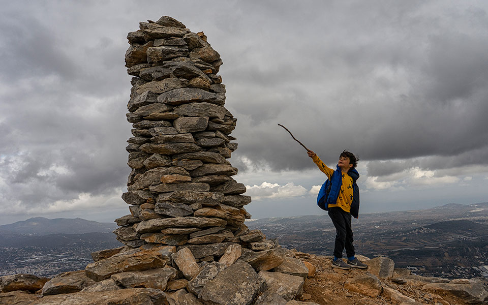
Turn off the main trail and follow the orange markers until you come across the tall pile of rocks that indicates the summit of Korakovouni (728m). It’s worth going right to the edge of the hillside for the view of the steep slopes plunging from the bare expanses of the mountain’s highest, antenna-covered peak into a landscape of dense pines and cypresses.
We’re now at the halfway mark of our trek, about an hour and 40 minutes in, and it’s a good time to take a rest or enjoy a picnic in one of the clearings among the pines.
Afterwards, as you take the road back down, turn off onto Trail 14, which leads to Leontari Cave. On a clear day, the view from this path over the Mesogeia Plain can stretch all the way to the islands of Evia and Tzia.
© Marika Tsouderou
To Leontari Cave
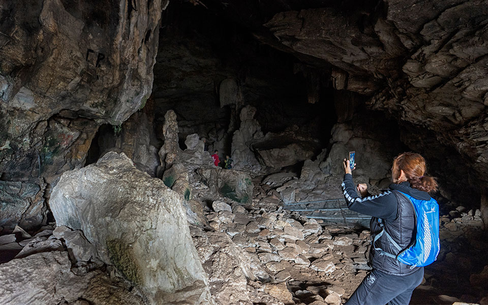
A wooden signpost on Trail 14 points out the short detour leading to the cave. Mt Ymittos is riddled with such caverns, many of them easy to reach and either archaeologically or aesthetically interesting, or both, as in this case.
Leontari Cave is a horizontal opening in the rock that forms a single chamber of around 50m x 20m, with a ceiling reaching between six and 11 meters in height. At the back of the cave, there are two large stalagmites; water dripping down on them means they’re both still forming. It’s a good idea to pack a flashlight, but don’t worry if you don’t have one: your eyes will soon get accustomed to the dark.
Research has revealed that the cave was used quite regularly by people in the Neolithic period. Findings include evidence of stone paving, pottery, stone tools and clusters of idols made of clay or stone; the figurines suggest that the cave was used in Classical times as a sanctuary, possibly for the worship of Pan and the nymphs that accompanied him.
© Marika Tsouderou
In modern times, the cave was used to stable livestock. According to local lore, the cave was given the name “Leontari,” or “Lion,” because of a ferocious feline that once had its den here, and which was slain by Saint Nicholas. In death, it apparently turned to marble, and the resultant sculpture is now on display at the church that bears the saint’s name in the area of Kantza in east Attica.
The loop back to the parking area outside the monastery is via a 700-meter dirt path that will take you back to Trail 10.
© Marika Tsouderou
The Monastery of Aghios Ioannis Prodromos Kynigos, an important religious site through the centuries
The spot on which the nunnery stands today has been sacred since the 4th century BC at least, having originally been home to a temple dedicated to Apollo and then a church that was built in early Christian times.
The Church of Aghios Ioannis Prodromos Kynigos is today part of a nunnery of the same name. It is a typical Byzantine cruciform-style domed structure, supported by two columns with Ionic capitals, and dates to between the 12th and 13th centuries.
An important religious site, the monastery was active and prosperous for many centuries. Its strategic vantage point allowed the monks to spot raiders from a great distance and to take shelter on the mountain’s craggy slopes, while the monastery proper was well protected by a high wall, sturdy wooden doors and battlements.
However, like another 410 monasteries in Greece, this one was dissolved by the Bavarian Regency Council that ruled the country immediately after Greece’s liberation from Ottoman rule. It was abandoned, and its significant assets were seized.
The monastery was re-established as a nunnery in 1975 and celebrates its saint’s feast day on August 29. It is closed to the public right now due to the pandemic restrictions.
This article was first published in Greek on kathimerini.gr


